Blog

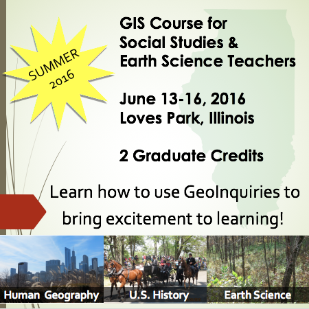
New GIS Course for Social Studies and Earth Science Teachers, June 13-16, Loves Park, IL – 2 Graduate Credits

GIS, Analyzing Our World in MS/HS Earth and Social Science: Learn how to use GeoInquiries to bring excitement to learning! GeoInquiries are short, standards-based mapping activities that use a geographic inquiry process to introduce earth and social science concepts to middle and high school students. GeoInquiries use ArcGIS Online technology (free to schools!) to uniquely […]

Read More

Florida, Illinois, Missouri, North Carolina, Ohio, Primaries – March 15, 2016

Who will win your state, your county, your city, your precinct? Using public data and free online mapping tools anyone can analyze an election. Steps to analyzing an election: 1. Map boundaries: States; townships, precincts 2. Election data –possible sources include: –county websites; –US Census http://www.census.gov/hhes/www/socdemo/voting/ –United States Election Project http://www.electproject.org/home/voter-turnout/voter-turnout-data –Esri Open Data http://opendata.arcgis.com/ […]

Read More