Category Archives: Data Sources

Florida, Illinois, Missouri, North Carolina, Ohio, Primaries – March 15, 2016

Who will win your state, your county, your city, your precinct? Using public data and free online mapping tools anyone can analyze an election. Steps to analyzing an election: 1. Map boundaries: States; townships, precincts 2. Election data –possible sources include: –county websites; –US Census http://www.census.gov/hhes/www/socdemo/voting/ –United States Election Project http://www.electproject.org/home/voter-turnout/voter-turnout-data –Esri Open Data http://opendata.arcgis.com/ […]

Read More

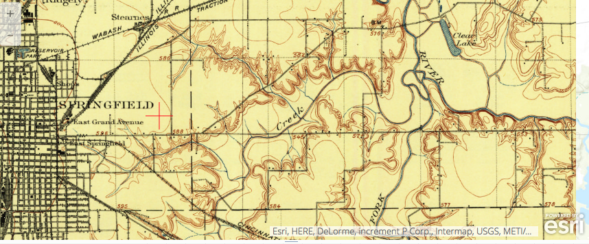
Screen shot, Springfield, IL 1907 from USGS Historical Topographic Map Explorer

Story Maps and Resources for History

Four Online Resources for the History Classroom: 1.USGS Historical Topographic Map Explorer http://goo.gl/MAuvFZ; 2. David Rumsey Historical Map Collection in ArcGIS Online http://goo.gl/Nk9mpL; 3. Investigating Land Use Change using Historical USGS Maps and Satellite Imagery in ArcGIS Online Blog post by Joseph Kerski, Oct. 30, 2915 http://goo.gl/ADzLXv; 4. Geoinquiries for History Instructional resources for history […]

Read More

2015 Demographic Data is Now Available!

Is our country becoming more diverse? What % of the population is Hispanic? What region of our county is growing fastest? The answer to these and many other burning questions may be found on this website: http://blogs.esri.com/esri/arcgis/2015/05/06/esris-2015-u-s-demographic-data-is-now-available/ Interesting trends, such as these, may be seen by viewing the 2015 Esri Data. This data may be […]

Read More