#k12storymap
Twitter users: I collected some great @EsriStoryMaps for education and would love to have more! Please share your favorites using #k12storymap.


Twitter users: I collected some great @EsriStoryMaps for education and would love to have more! Please share your favorites using #k12storymap.
Geography conferences are the best! Walking, observing, learning & sharing with awesome people who love geography and education made the Illinois AP Human Geography Conference top-notch! For those educators at the conference, resources for the “Leveraging Online Mapping Resources to Enhance Learning” session are now posted: https://thinkgeospatial.education/presentations/enrich-ap-human-geography-lessons-with-an-online-atlas/ Thank you teachers for all you do for […]
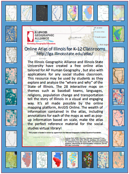
Thanks to the Illinois Geographic Alliance and Illinois State University, Illinois AP geography classrooms have a wonderful, interactive resource for exploring their home state. Lesson plans and detailed maps of boundaries, demographics, cities, Amtrak routes and much more are included on the Online Atlas of Illinois website. In addition, the Atlas is a superb example […]
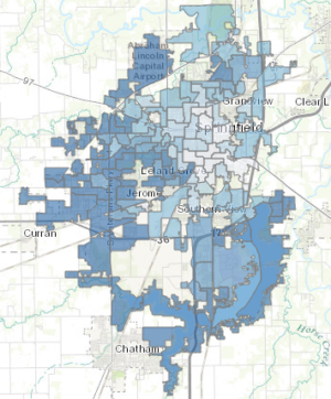
The embedded Esri Story Map below compares the percentage of registered voters who turned out to vote in the November 4, 2014 General Election in Capital Township in Springfield Illinois to median household income and median age. Among the many items on the ballot was the Governor’s race between Pat Quinn and Bruce Rauner. The […]