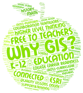
Because it’s easy!
1. Easy to access
FREE high-quality instructional materials! Teachers, check out the online lessons and resources for Earth Science, U.S. History and Geography. http://www.esri.com/connected
2. Easy to get started
with the online course, “Teaching with GIS”, http://training.esri.com/gateway/index.cfm?fa=catalog.webCourseDetail&courseid=2198. Other professional development opportunities may be found on the Esri EdCommunity website.
3. Easy to keep going
through professional connections, tech support and collaboration opportunities at Esri GeoNet. Join a GeoNet education group such as the Illinois Educators to get the most out of this online community. https://geonet.esri.com/groups/illinois-teachers
4. Easy to sign-up
for a free-to-teachers’ ArcGIS Online account. The ArcGIS Online account for teachers provides access to powerful online tools to explore, create, store, share, analyze and deploy maps. Sign-up at http://www.esri.com/connected.
5. Easy to develop a passion
for GIS technology that empowers students with the resources and knowledge to change the world! http://edcommunity.esri.com/Careers

