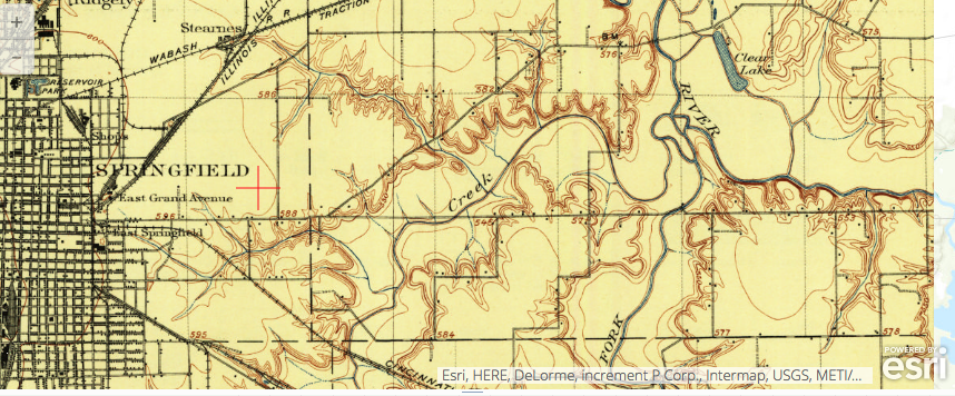
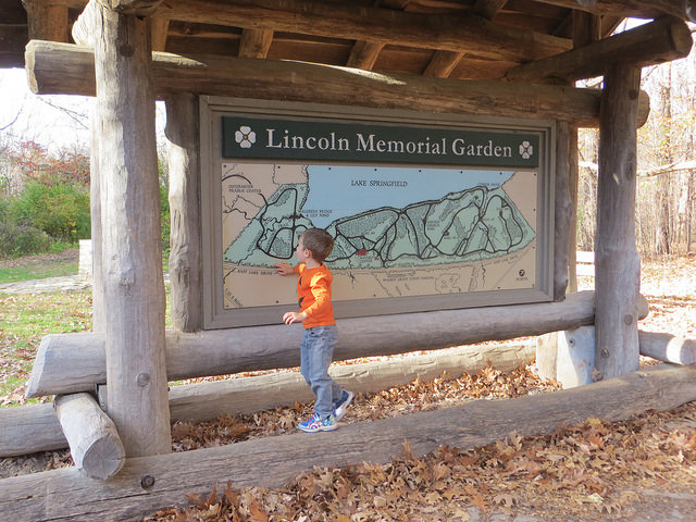
Lincoln Memorial Garden
A fall hike in Springfield, Illinois’ beautiful Lincoln Memorial Garden inspired a Story Map Tour. Here are the steps I took to create the tour: 1. uploaded geotagged images to my Flickr account 2. changed the location privacy settings to public 3. went to the website storymaps.arcgis.com/ and logged in to my public account 4. […]